Log in
All resources
Create a design
185 Free Artworks of Maps Of Israel
bibliothèque nationale de france
philippe de la rué
maps of ancient israel by philippe de la rué
eran laor cartographic collection
old maps of the tribes of israel
sanson maps of the holy land
drawings in musée carnavalet
prints by jacques callot in the rijksmuseum amsterdam
jacques callot
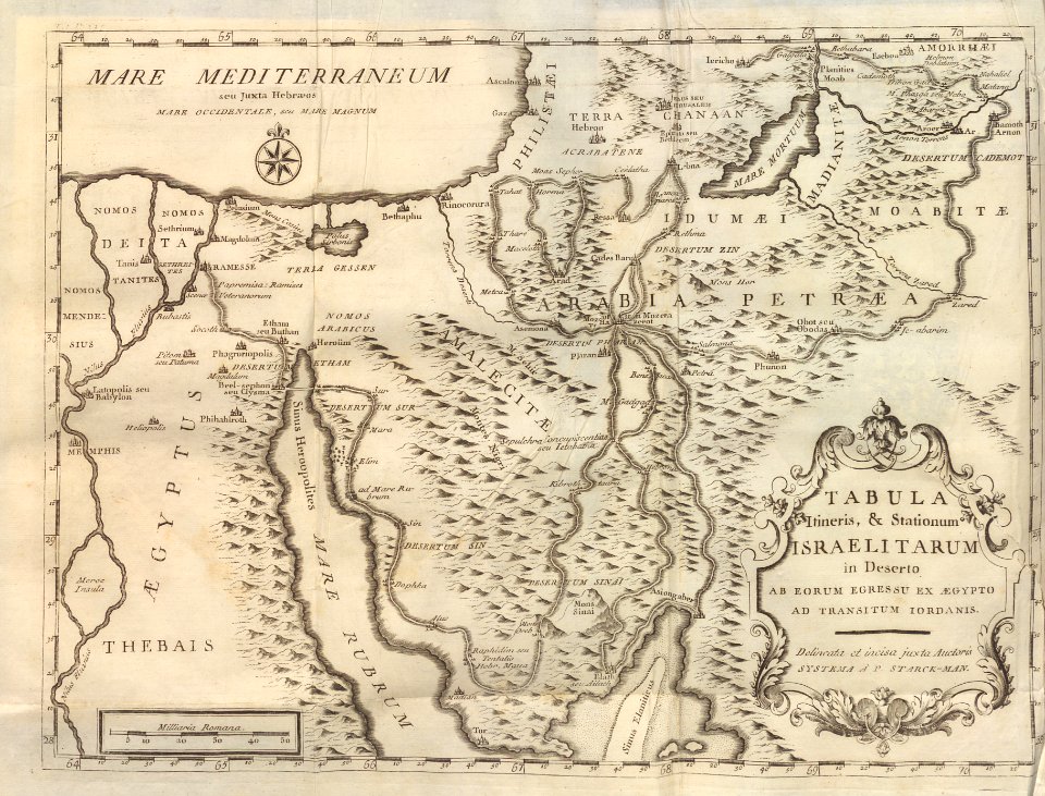
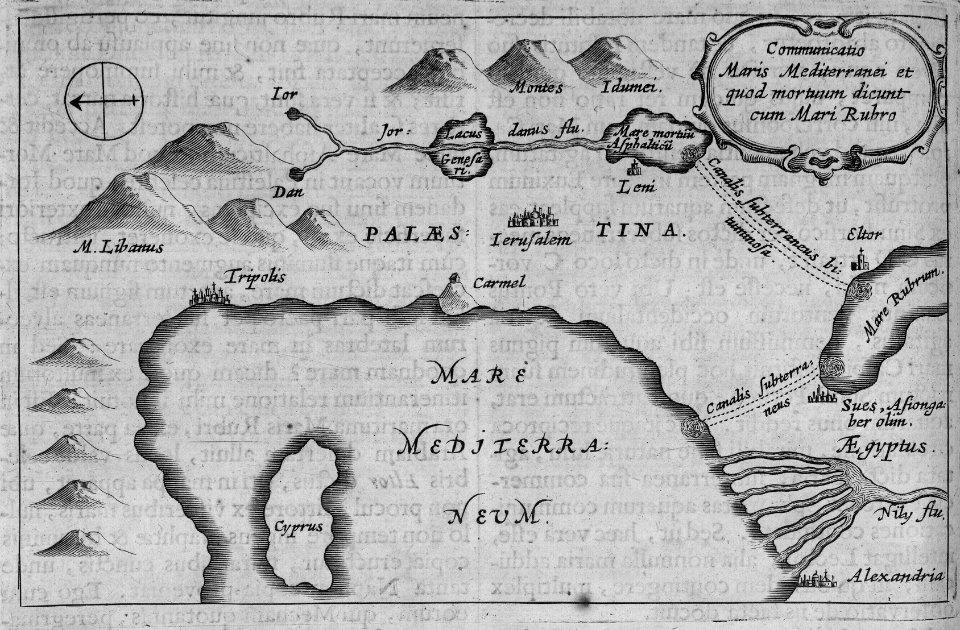
old maps of the stations of the exodus
eran laor cartographic collection
maps by tomas lopez
bernhard von breydenbach
erhard reuwich
maps of ancient israel by philippe de la rué
old maps of ancient israel
students bible
maps by guillaume sanson
maps by nicolas sanson
maps in the library of congress
1720s maps of palestine
maps by daniel stoopendaal
biblical maps
maps of ceylon by petrus plancius
eran laor cartographic collection
eran laor cartographic collection
pierre mortier
practical handbook for the study of the bible
maps by alexis-hubert jaillot
sanson maps of the holy land
maps in the british museum
prints by mario cartaro
maps by willem and johannes blaeu
maps made in the 17th century
cartouches by willem and johannes blaeu
maps made in the 17th century
eran laor cartographic collection
johann ulrich krauß
maps by willem and johannes blaeu
maps made in the 17th century
eran laor cartographic collection
claes jansz. visscher (ii)
eran laor cartographic collection
willem albert bachiene
1801 map of turkey in asia by john cary
1801 maps of the ottoman empire
maps by johann baptist homann
sanson maps of the holy land
maps of ancient israel by philippe de la rué
old maps of the tribes of israel
eran laor cartographic collection
claes jansz. visscher (ii)
old maps of the sea of galilee
french-language maps
old maps of ancient israel
1720s maps of palestine
maps by nicolaes visscher i
maps by daniel stoopendaal
charles william meredith van de velde
eran laor cartographic collection
old maps of the stations of the exodus
1650s maps of palestine
sanson maps of the holy land
louis cordier
terrae sanctae tabula by guillaume delisle (1763)
eran laor cartographic collection
maps by willem and johannes blaeu
maps made in the 17th century
prints by jan luyken in the rijksmuseum amsterdam
maps in the rijksmuseum amsterdam
maps of ancient israel by philippe de la rué
old maps of the united monarchy
maps by willem and johannes blaeu
maps made in the 17th century
maps by willem and johannes blaeu
maps made in the 17th century
bibliothèque nationale de france
sanson maps of the holy land
cartouches by willem and johannes blaeu
maps made in the 17th century
cartography
maps
situs terrae promissionis by christian van adrichom
old maps of the stations of the exodus
eran laor cartographic collection
willem albert bachiene
maps of ancient israel by philippe de la rué
map of modern syria by philippe de la rué
eran laor cartographic collection
willem albert bachiene
maps of the byzantine levant
1650s maps showing history
maps of the byzantine levant
1650s maps showing history
eran laor cartographic collection
18th-century maps of jerusalem
old maps of the stations of the exodus
maps in the rijksmuseum amsterdam
maps of the history of jerusalem
1830s maps showing history
maps of the byzantine levant
1650s maps showing history
maps of ancient israel by philippe de la rué
eran laor cartographic collection
maps of ancient israel by philippe de la rué
bibliothèque nationale de france
maps in the library of congress
1690s maps of palestine
maps of hormuz by braun & hogenberg
hebrew university of jerusalem
maps by nicolaes visscher i
old maps of canaan
tower of babel in engravings
maps by nicolaes visscher i
maps of ancient israel by philippe de la rué
old maps of the stations of the exodus
historie van indien
de bry family
sanson maps of the holy land
robert cordier (engraver)
bibliothèque nationale de france
clément-pierre marillier
map of modern syria by philippe de la rué
1650s maps of palestine
maps of ancient israel by philippe de la rué
jean pruthenus somer
maps of ancient israel by philippe de la rué
old maps of the stations of the exodus
maps of ancient israel by philippe de la rué
henri le roy (1579-)
works by willem goeree in the rijksmuseum amsterdam
old maps of canaan
egypt
maps
carte de la syrie by guillaume delisle (1764)
bibliothèque nationale de france
place saint-michel (former square)
drawings in musée carnavalet
bibliothèque nationale de france
sanson maps of the holy land
drawings of enceinte of philippe-auguste by léon leymonnerye
drawings in musée carnavalet
enceinte of philippe-auguste (17-21 rue des jardins-saint-paul)
drawings in musée carnavalet
drawings of enceinte of philippe-auguste by léon leymonnerye
drawings in musée carnavalet
map of modern syria by philippe de la rué
bibliothèque nationale de france
bibliothèque nationale de france
sanson maps of the holy land
drawings in musée carnavalet
série 01. paris. rive droite
maps in the rijksmuseum amsterdam
old maps of the holy land
série 09. paris. hôpitaux et hospices
drawings in musée carnavalet
drawings in musée carnavalet
série 01. paris. rive droite
sailing ships of indonesia
ships on maps
prints by jacques callot in the rijksmuseum amsterdam
siege of breda 1624-1625, by jacques callot
prints by jacques callot in the rijksmuseum amsterdam
siege of breda 1624-1625, by jacques callot
prints by jacques callot in the rijksmuseum amsterdam
siege of breda 1624-1625, by jacques callot
prints by jacques callot in the rijksmuseum amsterdam
siege of breda 1624-1625, by jacques callot
drawings in musée carnavalet
cimetière de la madeleine
prints by jacques callot in the rijksmuseum amsterdam
siege of breda 1624-1625, by jacques callot
prints by jacques callot in the rijksmuseum amsterdam
siege of breda 1624-1625, by jacques callot
prints by jacques callot in the rijksmuseum amsterdam
planchejacques callot
dutch 17th-century prints in the rijksmuseum amsterdam
siege of breda 1624-1625, by jacques callot
101 - 185 of 185
/ 2


![Ins. Ceilan, quæ incolís Tenarifin dicitur [cartographic material] / dedit clarissismus vir Petrus Plancius., 1595](https://cdn.creazilla.com/illustrations/10001048964/ins-ceilan-qu-incols-tenarifin-dicitur-cartographic-material-dedit-clarissismus-vir-petrus-plancius-1595-sm.webp)